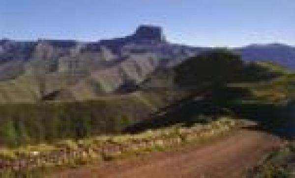
Following a route that is the easiest to walk, but also offers the best views, the trail traverses the escarpment along terrain that is hilly with deep valleys and high peaks, and is generally 3 000 to 3 250 m above sea level, criss-crossing the watershed-border between Lesotho and Kwazulu for most of the way.
Along the way you are likely to encounter Sotho herdsmen with their cattle, sheep or goats, and there is a good chance of spotting several species of buck as well as eagles, vultures and smaller birds.
Most of all, the trail will take you past the most dramatic and magnificent parts of the Drakensberg.
This trail is about 58 km and will take 5 days to complete. Cars can be left in the car park at the Sentinel; there are caves, such as Ifidi Cave or Fangs Cave, in the area where hikers car stay if they are not already occupied.
The trail leads you through the mast dramatic and spectacular part of the Drakensberg.
Hikers should be fit for this trail. For the guided trail, hikers should be between the ages of 18 and 60, and groups are limited to a maximum of 12 people.
Carry a passport and any necessary health documents. This area has become well known for theft and attacks so be on your guard at all times, and hike in groups of 3 or more.
Sign the mountain rescue register before you leave.
Contact
Qwa-Qwa Tourist Officer - 058 713 4415
Royal Natal - 036 438 6303
