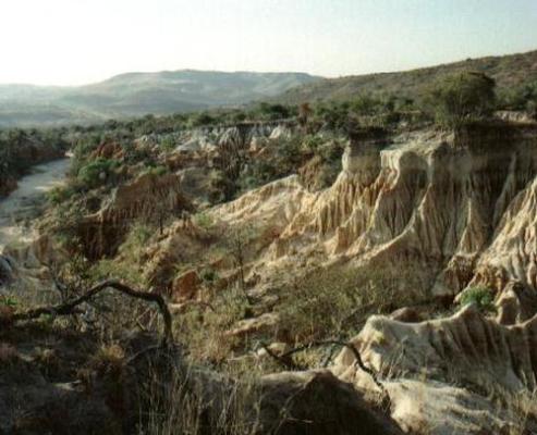

Vryheid is the largest town in Northern KwaZulu-Natal and is the heartbeat of a vast regional area.
Vryheid is also located near the sources of four major Zululand Rivers: White and Black Umfolozi, Mkhuze and Pongolo and part of the Tukhela catchment as well. This ensures many wetlands, some of which (Blood, Aloeboom and Lenjane) are of regional importance.
The population of the region is approximately 230 000 with a blend of Zulu, Afrikaans, German, English and European cultures. The diverse population ensures exposure to many traditions and cultures.
It has viable economic structure reliant on farming, mining, timber and small industry. Extensive wattle and timber plantations form a large portion of agricultural activities, but the main crops are maize and groundnuts.
Steeped in history, from the Bushmen to the British, and including an Anglo-Boer battlefield, the Vryheid Hill reserve outside town offers a lot to the visitor.
Vryheid is an important link in the railway line from the eastern Mpumalanga coalfields to the ore and bulk cargo port of Richards Bay on the north coast of KwaZulu Natal.